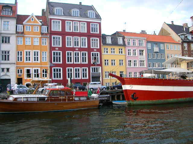
+countries++photographic galleries++fiction++scandinavian rock history++learn folskpraak++alice in wonderland on mushrooms in copenhagen ThaiBahasa IndonesiaAboriginal AustraliaJapan NihonKorean languageVietnameseIsraelDenmarkReykjavik, Iceland
 latest posts
» Welcome to Rob Sullivan's Reykjavik Iceland!
» Reykjavik By Day: Art Shops & Galleries
» Banks & ATMs
» Cafes & Coffee Houses
» Flower Shops & Gardens
» Grocery Stores: Organic
» Medical Facilities & Medicinal Purposes
» Restaurant Guide
» Day Trips from Reykjavik: Akranes
» Garthur
» Skógar and surrounds
» Skogfellavegur Walk
» Iceland Taxi Tours
» Social Issue: Polar Pop of Greenland

Scandinavian Highlights

The beautiful golden summer afternooned canals of Nyhavn, Copenhagen, Denmark
Nyhaven -- Copenhagen Copenhagen Street Scene
Copenhagen Street Scene
Norrebro Copenhagen Gallery
Copenhagen Norrebro Gallery Typical Danes in the Danish capital
Danish Capital Nyhaven, Copenhagen
Nyhaven, Copenhagen Smurfland
Smurfland Icelandic Green Daze
Reykjavik Street Scenes
Reykjavik Harbor
Reykjavik Harbor The Blue Sky
The Blue Sky Crystal Rise
Crystal Rise


Skógfellavegur: southwest iceland
ICELAND IS A FAIRYTALE COME TRUE FOR SERIOUS TREKKERS AND HIKERS AND WALK FANATICS. One interesting walk which exists in the general Reykjavík region is the Skógfellavegur, a 16km lava track which starts at Hafnarfirði and terminates at Grindavík. The walk covers an impressive lavaland of rock and moss, and other types of bizarre scenery that only Iceland can provide. While it is green and clean in summer, a winter trek also holds appeal with vast vistas of pure white snow. What intriques me about this trek is that there doesn't seem to be any information about it on the Internet in English -- no information at all -- which suggests that foreigners don't know about the place. From the Icelandic information I have read (and vaguely understood), it seems this road undergoes quite a few name changes as it progresses. It starts out as Skógfellavegur, and then changes into Skógfellsvegur and Vogavegur. Later the name changes again to Sandakravegur and Sandakradalsvegur. Of the Skógfellavegur part, there seems to be two parts of the track -- Litla-Skógfelli (the Little Skógfellavegur) and the Stóra-Skógfelli (the Big Skógfellavegur). Here is a description of the route in Icelandic:

"Skógfellavegur er hluti gömlu þjóðleiðarinnar til Grindavíkur frá Hafnarfirði og dregur nafn sitt af tveimur fellum, Litla- og Stóra Skógfelli, sem standa rétt við götuna um miðja vegu til Grindavíkur. Nafn götunnar hefur breyst í tímans rás því áður hét hluti hennar Sandakravegur, þ.e. sá hluti sem sem liggur frá Stapahorni og langleiðina að Stóra- Skógfelli en þar eru vegamót. Sandakravegur heldur áfram í átt að Kasti og Fagradalsfjalli en Skógfellavegur til Grindavíkur."

One Icelander who walked this reasonably unbeaten path, Sesselja G. Guðmundsdóttir wrote: "Veður var frábært, sól og hiti, svo og útsýni á leiðinni. Gangan tók nákvæmlega 4 klst." As far as I am able to gather with my poor Icelandic skills, she said: "The weather was sunny and hot (by Icelandic standards at least!), it took about four hours to walk." When I challenge the Skógfellavegur later this year, I will see whether it does indeed take four hours to complete!

Some historical information about this part of the world (from Landamerkjabréf Hóps 8/6 1889): "að vestanverðu frá stórstraumsfjöruborði eftir Miðós á vestara Hóprifi upp fyrirvestan Langatanga sjónhent að marbakka, að þar merktri fastri klöpp. Að austanverðu frá stórstraumsfjöruborði eftir Miðós á vestara Hóprifi að merktri klöpp fyrir miðju Markalóni (sem er fyrir austan digru Sigguvörðu á Þórkötlustaðanesi), þaðan sem sama sjónhending ræður hæst á Stóra-Skógfelli, þaðan á hæsta hnjúk á Litla-Skógfelli, þar á móts við landamerki jarðarinnar Járngerðarstaða. Þar eð óglöggt hefur verið að ákveða glögg heiðarlandamerki milli jarða þessara, þá hefur eigandijarðarinnar Járngerðarstaða, , samþykkt að jörðin Hóp skyldi eiga hér eftir óátalið1/5 af öllu heiðarlandi þessara jarða, sem er rétt hlutfall samanborið við forngildibeggja jarðanna."

Close to Reykjavik is a popular hiking trail called Reykjavegur.The Reykjavegur hiking trail is divided into a few easy stages and at the end of this suggested program, it is easy to add more stages. This program starts at the lighthouse on Reykjanes and ends at the geothermal power station Nesjavellir.

1. The Reykjanes lighthouse... The Blue Lagoon 19 km.
2. The Blue Lagoon... The Leirdalur Valley 13 km.
3. The Leirdalur Valley... Lake Djupavatn 14 km.
4. Lake Djupavatn... Summer Camp Kaldarsel 18 km.
5. Kaldarsel... The Blue Mountains (ski resort) 16 km.
6. The Blue Mountains... The Hamragil Gorge 20 km.
7. Hamragil... Nesjavellir (power station) 14 km.

s k ó g f e l l a v e g u r : h i g h l i g h t s

++Santa Claus visits Skógfellavegur++++Grindavik Photos++ ++Hafnarfirði Photos++++Gay Iceland++Icelandic SUVs++++Reykjavik++++Reykjavik Nightlife Guide++


 links

Iceland Music Resources


Bad Taste Records

Bad Taste Records

Rokk Islensk Tonlist

Rokk Islensk Tonlist

Jon MP3

Jon Mp3

Hugi Islensk Tonlist

Hugi Islensk Tonlist

Ulpa

Ulpa Home Page

Icelandic Breakbeat

・スE・スE・スE・スIcelandic Breakbeat

Greenland Music Resources


Polar Pop

Nuuk Posse -- Inuit Hip-Hop